Southern New Hampshire · Autumn day-trip guide

Fall Foliage in Southern New Hampshire: Scenic Spots, Drives & Walks

For an easy Southern New Hampshire foliage day, choose one scenic destination and one nearby town or farm stop rather than chasing a promised peak. The Monadnock region offers the biggest outlooks, the Merrimack Valley has flexible walks close to I-93 and Route 3, and southeastern parks add lakes, marshes and quieter woods.

Researched September 27, 2026 · Official land-manager and tourism sources checked · Not ranked

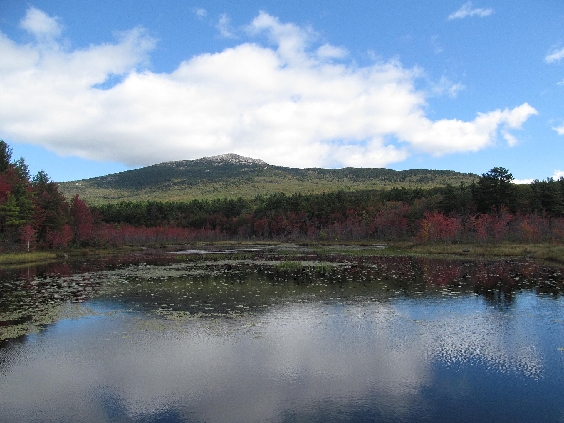
Mount Monadnock above a pond and early autumn color in Jaffrey, New Hampshire
Mount Monadnock in early autumn. Dougtone / Wikimedia Commons, CC BY-SA 2.0.

Choose by effort

Where should you go?

Use the table as a starting point, then open the destination details and official source before leaving.

Destination Region Best for Effort Access note
Miller State Park Peterborough Monadnock Big overlook Low when auto road is open Summit parking is limited; reserve
Monadnock State Park Jaffrey Monadnock Major hike Strenuous Weekends often sell out
Chesterfield Gorge Chesterfield Monadnock Waterfall walk Short but rugged Slippery near water
Robert Frost Farm Derry Merrimack Valley History & orchard Light walking Grounds open year-round
Massabesic Center Auburn Merrimack Valley Lake & wildlife Flexible Trails dawn to dusk; no dogs
Mine Falls Park Nashua Merrimack Valley Canal-side walk Flexible Choose a marked segment
Benson Park Hudson Merrimack Valley Ponds & historic grounds Light to moderate Use marked trails
Bear Brook State Park Allenstown Southeast Deep woods Choose your route Large network; carry a map
Pawtuckaway State Park Nottingham Southeast Lake, marsh & fire tower Flexible to strenuous Parking is limited

Monadnock region foliage spots

3 destinations

Long views, rocky trails and a gorge walk in southwestern New Hampshire. Mount Monadnock is a serious hike; Miller State Park offers a seasonal drive-up alternative.

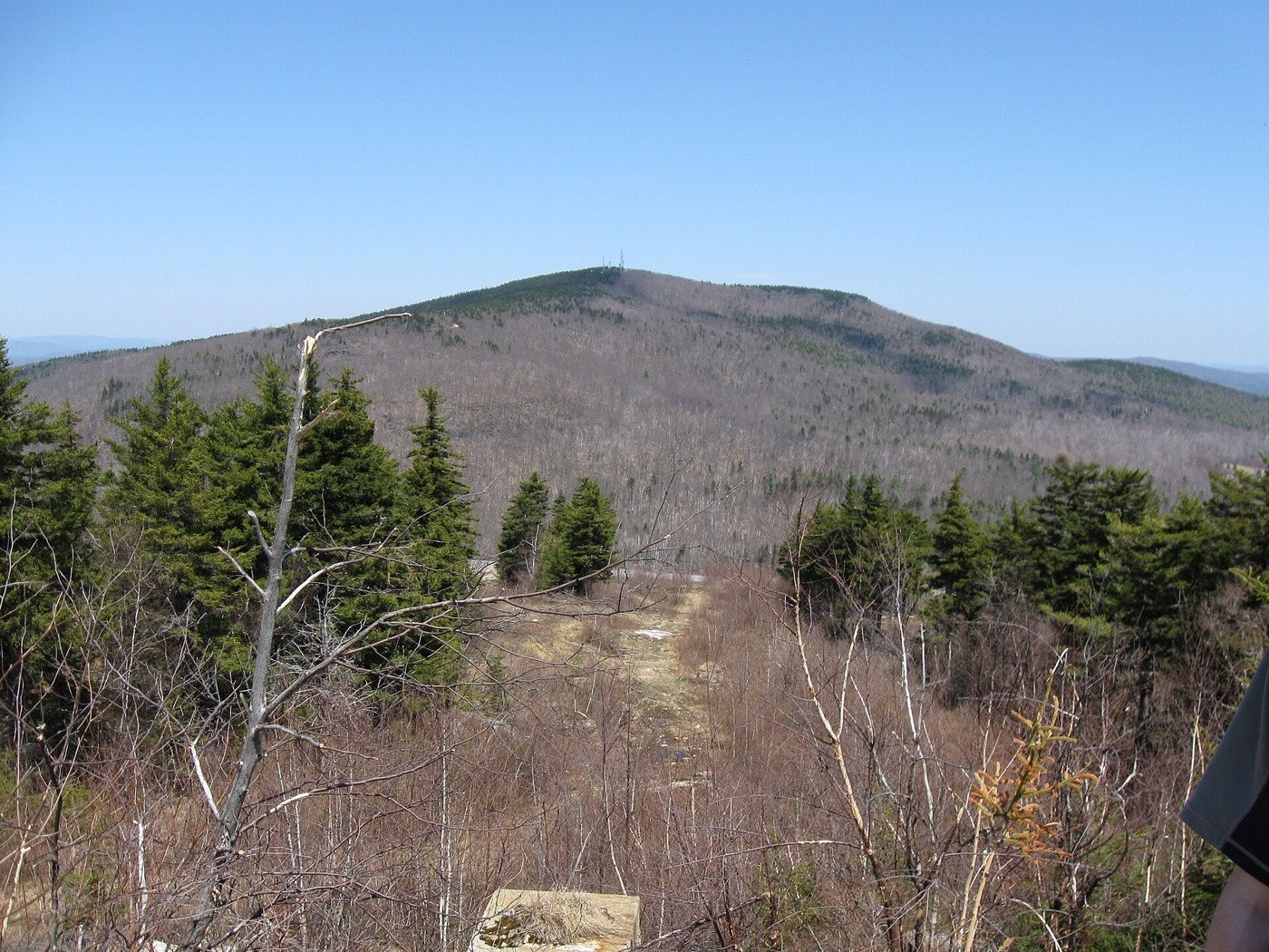
Pack Monadnock seen from a neighboring summit
Pack Monadnock. Ken Gallager / Wikimedia Commons, CC BY 3.0.
Low-walking optionReservations encouraged

Scenic overlook · Seasonal auto road · Summit paths · Hiking trails

Miller State Park / Pack Monadnock

13 Miller Park Road, Peterborough, NH

When the 1.3-mile paved auto road is open, drivers can reach the Pack Monadnock summit area for broad views with only a short walk around the top. Hikers can instead use the 1.4-mile Marion Davis or Wapack routes, or the 1.6-mile Raymond Trail, as mapped by NH State Parks.

Summit parking is limited and day-use reservations are encouraged. The auto road is seasonal and gates may close off-season, so confirm current operations. Pair it with Peterborough village or continue to Mount Monadnock only if your group wants a substantially harder hike.
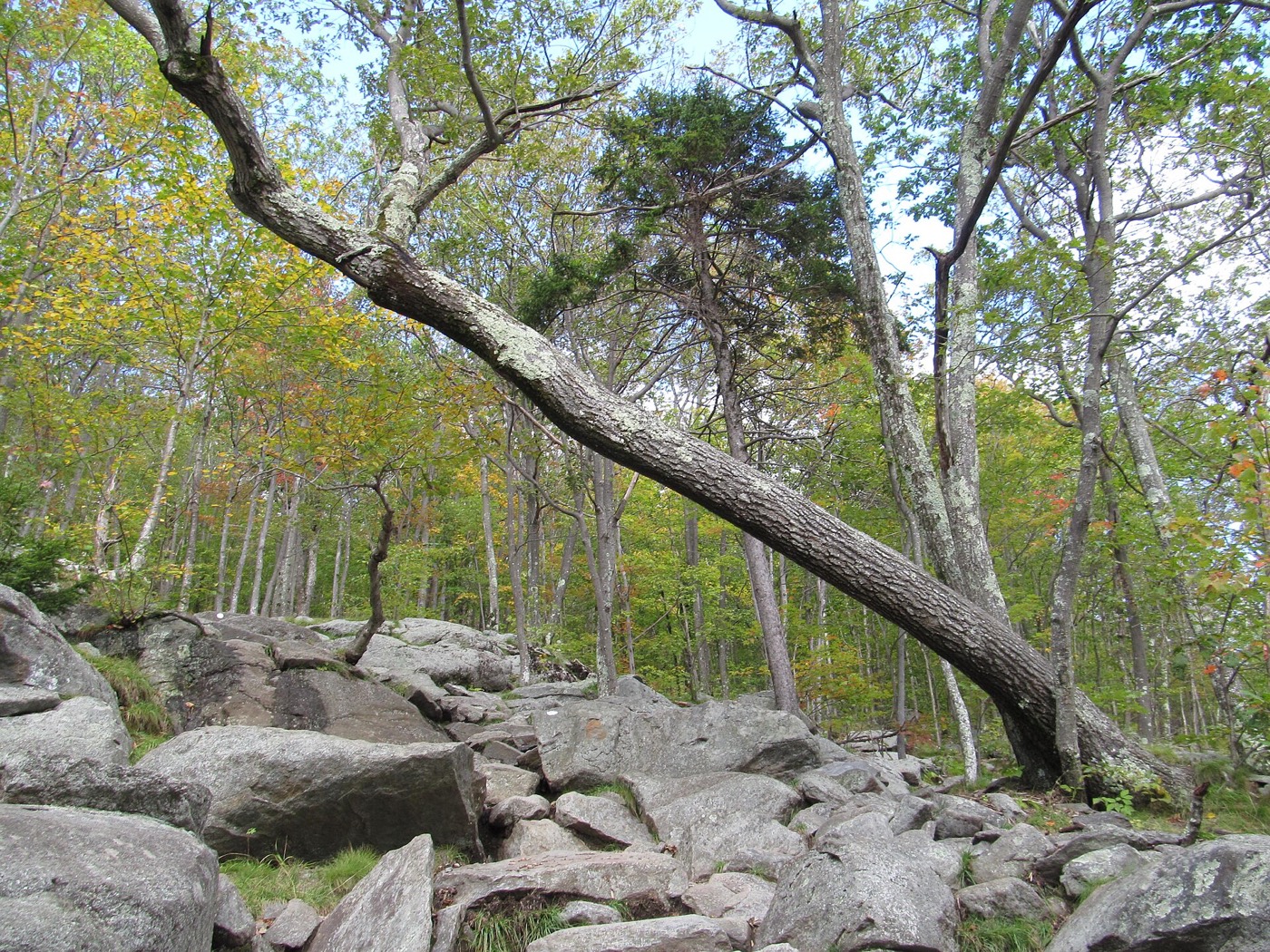
Rocky trail through early autumn woods on Mount Monadnock
Mount Monadnock trail. Dougtone / Wikimedia Commons, CC BY-SA 2.0.
StrenuousReserve ahead

Mountain hike · Rocky summit · Long-distance views

Monadnock State Park

169 Poole Road, Jaffrey, NH

The main headquarters routes lead to Mount Monadnock’s bare 3,165-foot summit. The official map lists the White Dot Trail at 2 miles to the summit and the White Cross Trail at 2.2 miles to the summit; both involve sustained climbing and exposed rock rather than an easy foliage stroll.

Weekend day-use often sells out from April through November. Reserve parking before driving; when the park is full, visitors cannot park elsewhere and walk in. For a gentler nearby outlook, choose Miller State Park’s auto road when open.

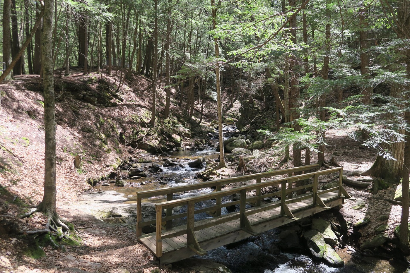
Footbridge and forest along Wild Brook at Chesterfield Gorge
Chesterfield Gorge. John Phelan / Wikimedia Commons, CC BY-SA 4.0.
Short routeRugged footing

Gorge · Cascades · 0.7-mile footpath · Picnic stop

Chesterfield Gorge Natural Area

1823 Route 9, Chesterfield, NH

A 0.7-mile footpath follows Wild Brook through a hemlock forest and past cascades, waterfalls and gorge viewpoints. A bridge less than half a mile from the visitor area provides a clear turnaround point for a shorter outing.

The terrain is rugged and can be slippery near the water. The park remains open when unstaffed, but visitor-center and restroom hours are seasonal. Pair it with the official Monadnock Region Loop rather than treating it as a roadside overlook.

Merrimack Valley foliage spots

4 destinations

Flexible walks, historic landscapes and water views within an easier day trip from Greater Boston and the Massachusetts Merrimack Valley.

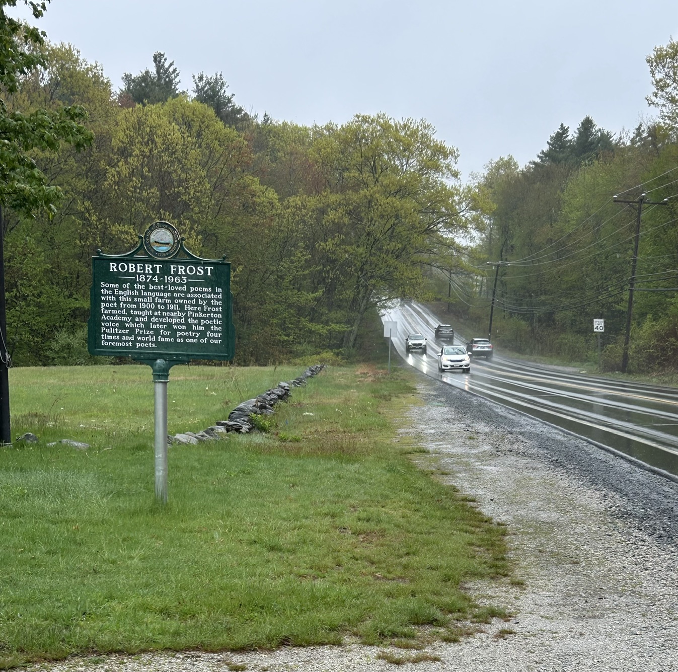
Robert Frost historical marker beside Rockingham Road in Derry
Robert Frost Farm road marker. MauraWen / Wikimedia Commons, CC0.
Light walkingHistoric site

Historic farm · Orchard setting · Poetry trail · Seasonal house tours

Robert Frost Farm Historic Site

122 Rockingham Road, Derry, NH

The former Derry home of Robert Frost combines a farmhouse, orchard landscape and self-guided poetry trail. Walk the grounds and trail for an autumn stop; add a house tour only when the published seasonal schedule fits your visit.

Grounds and trails are open year-round; check the official page for posted access hours and the seasonal guided-tour schedule. Pets are not permitted. Pair this stop with the Apple Way and the LondonderryLocal farms and orchards guide.

Free admissionNo dogs

Lake views · Wildlife sanctuary · All Persons Trail · Woodland trails

Massabesic Center

26 Audubon Way, Auburn, NH

NH Audubon’s 130-acre sanctuary has fields, mature deciduous forest, wetlands, a pond, streams and more than five miles of trails leading toward Lake Massabesic. The published 0.4-mile All Persons Trail offers a shorter route through grasslands, wetlands and gardens.

Sanctuary trails and pollinator gardens are open dawn to dusk daily; the center building has separate hours. Dogs are prohibited on the center and sanctuary trails. Pair it with a meal or another stop in Manchester or Auburn.

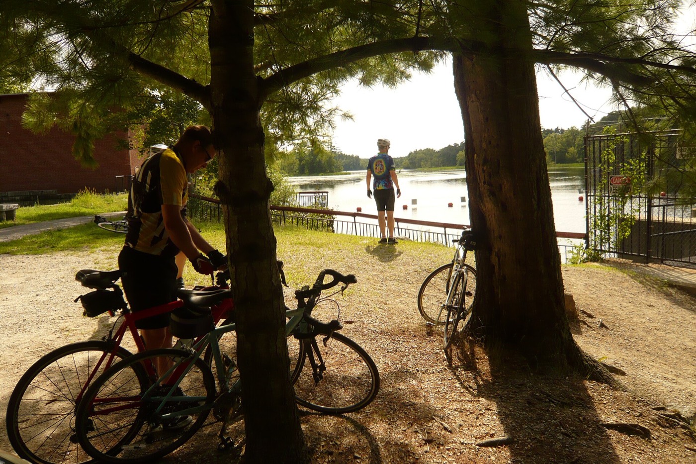
Cyclists paused beside the water at Mine Falls Park in Nashua
Mine Falls Park. Jane023 / Wikimedia Commons, CC BY-SA 3.0.
Flexible distanceCity park

Canal · Nashua River · Forest · Wetlands · Marked walking routes

Mine Falls Park

Whipple Street and other marked access points, Nashua, NH

This 325-acre park follows the Nashua River and Mill Pond canal through forest, wetlands and open fields. Use the official map to build a route: marked loops and segments range from the 0.38-mile Orange Trail to the 2.94-mile Blue Trail.

The map shows several access points, so choose one before navigating rather than relying on a generic park pin. The city cautions that secondary trails may not suit strollers or small children. Pair it with downtown Nashua.

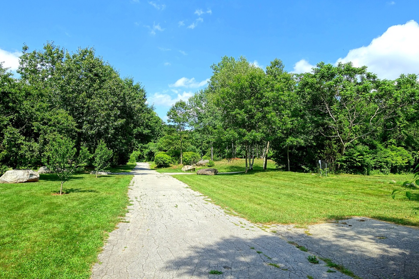
A paved park road through green grounds at Benson Park in Hudson
Benson Park. Daderot / Wikimedia Commons, CC0.
Flexible walkSeasonal hours

Ponds · Woods · Open spaces · Historic landmarks · Four-plus miles of trails

Benson Park

19 Kimball Hill Road, Hudson, NH

Benson Park’s color-coded trail network crosses 163 acres of woods, ponds, wetlands, open spaces and historic landmarks. Use the town trail map to choose a short circuit near the entrance or connect a longer walk.

Fall hours are seasonal and posted by the town. Trails and surfaces vary; consult the map and signs rather than assuming every path is accessible. Mine Falls Park makes a logical second stop for a longer Nashua–Hudson day.

Southeastern New Hampshire foliage spots

2 destinations

Large state parks with lakes, marshes and forest routes. Choose a specific trail or day-use area before entering these broad properties.

Large trail networkReservations encouraged

Forest · Ponds · Marshes · 40-mile trail network · CCC museum complex

Bear Brook State Park

12 Podunk Road, Allenstown, NH

New Hampshire’s largest developed state park has more than 10,000 acres and about 40 miles of trails through forest to ponds, marshes, bogs and summits. For a foliage visit, choose a published route near Catamount Pond or the museum complex instead of arriving without a trail plan.

Parking is limited on busy days and reservations are encouraged. The park can be unstaffed and gated areas may close off-season; carry the trail map and confirm the day-use access you intend to use.

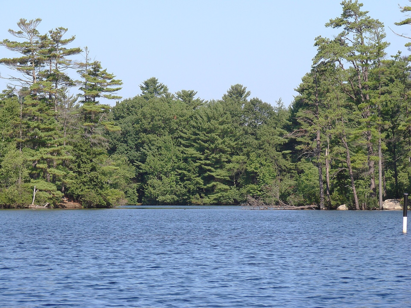
Pawtuckaway Lake bordered by pine and deciduous forest
Pawtuckaway Lake. Cody Carlson / Wikimedia Commons, CC BY-SA 3.0.
Lake & marshParking limited

Lake · Burnham’s Marsh · Boulder field · South Mountain fire tower

Pawtuckaway State Park

128 Mountain Road, Nottingham, NH

Pawtuckaway combines shoreline color, Burnham’s Marsh, a glacial boulder field and a fire-tower hike. For an easier outing, stay near the lake or follow a mapped portion of the Fundy Trail by the marsh; the South Mountain route to the tower is a real hike, not a roadside overlook.

Day-use parking is limited and reservations are encouraged. Seasonal staffing, facilities and gates change, so check the current park page. Bear Brook offers another forest-focused state-park day nearby.

Stay on public roads

Three researched scenic drives

Apple Way

Start and finish: Londonderry Town Offices, 268B Mammoth Road.

Follow the signed local byway through Londonderry’s orchard landscape using the Southern New Hampshire Planning Commission map. The route uses roads including Mammoth, Pillsbury, Gilcreast and nearby rural connectors. These roads can be narrow and lack shoulders, so treat this as a drive and stop only at a designated public trailhead or open business.

Official byway maps and information ↗

Monadnock Region Loop

Start and finish: Keene; approximately 80 miles.

The official route runs from Keene on Route 101 to Marlborough, south on Route 124 past Monadnock State Park to Jaffrey, north on Route 123 to Peterborough, then via Route 136, Forest Road and Route 123 with signed choices back toward Keene. Good planned stops include Monadnock State Park, Peterborough and a meal in Keene.

Official Visit NH route ↗

American Independence Byway

Loop: Exeter, Hampton Falls, Hampton and Kensington; 21 miles.

This state scenic and cultural byway links village streets, fields, woodlands, marshes and coastal views. Start in Exeter, follow the official loop through Kensington and Hampton Falls, and finish back in Exeter. Use public lots in the villages or at an open attraction; do not stop on narrow shoulders or private property.

Official Visit NH byway details ↗

Put it together

Three simple fall day trips

Low-walking Monadnock outlook

  1. Reserve Miller State Park and confirm the seasonal auto road is open.
  2. Drive to the Pack Monadnock summit area and use the short summit paths only as comfort allows.
  3. Continue to Peterborough for lunch and a village walk.

If the auto road is closed, do not substitute a summit hike unless everyone is prepared for it.

Nashua and Hudson waterside loop

  1. Choose a short marked route at Mine Falls Park.
  2. Stop for lunch in Nashua.
  3. Use Benson Park’s official map for a second flexible walk among ponds and historic grounds.

This plan is easy to shorten because both parks offer choices near their entrances.

Londonderry and Derry orchard country

  1. Follow the Apple Way map from Londonderry Town Offices.
  2. Visit an open orchard using the farms and orchards guide.
  3. Finish with the grounds and poetry trail at Robert Frost Farm in Derry.

Confirm orchard conditions and Frost Farm tour hours separately; neither is guaranteed by the scenic route.

Timing the color

Use current reports, not a fixed “peak” date.

Visit New Hampshire says southern and coastal regions often see their best foliage in the second half of October. That is a planning range, not a promise: temperature, rain, wind and elevation affect each season and even nearby places can look different on the same day.

Check the official NH foliage tracker ↗

Frequently asked questions

Planning Southern New Hampshire foliage

When does fall foliage peak in Southern New Hampshire?

There is no guaranteed peak date. Visit New Hampshire says southern and coastal regions often see their best color in the second half of October. Check its live foliage tracker close to your trip.

Where can I see foliage with very little walking?

Miller State Park is the strongest verified low-walking overlook when its seasonal auto road is open. Robert Frost Farm and the short All Persons Trail at Massabesic Center are gentler alternatives, but surfaces and individual access needs vary.

What is a good foliage day trip from Massachusetts?

From the Greater Boston area or Massachusetts Merrimack Valley, the Nashua–Hudson plan combines Mine Falls and Benson Park. For a bigger outlook, reserve Miller State Park and continue to Peterborough. Always check traffic, park capacity and current operations.

Can I combine foliage with apple picking?

Yes. The Apple Way passes through Londonderry’s orchard landscape. Use the LondonderryLocal farms and orchards guide to check which farms are open and what is available that day.

Where can I find current foliage conditions?

Use the official Visit New Hampshire foliage tracker and its live reports. This page explains durable routes and access; it does not claim current color conditions.

How this guide was researched

Researched September 27, 2026 from New Hampshire State Parks, municipal park departments, NH Audubon, Visit New Hampshire and the Southern New Hampshire Planning Commission. Destinations were included only when an official land manager published current public access and enough route detail to plan a visit. Trail difficulty, seasonal access and reservations are described conservatively.

Location photographs are licensed for reuse: Mount Monadnock by Dougtone (CC BY-SA 2.0), Chesterfield Gorge by John Phelan (CC BY-SA 4.0), Pack Monadnock by Ken Gallager (CC BY 3.0), Pawtuckaway Lake by Cody Carlson (CC BY-SA 3.0), Robert Frost Farm road marker by MauraWen (CC0), Benson Park by Daderot (CC0), and Mine Falls Park by Jane023 (CC BY-SA 3.0). The images show the named places, but not necessarily current foliage conditions.

After the scenic drive

See what’s happening around Londonderry.

Find the Good Stuff, plan a night of live music or theater, or choose a local place to eat, shop or hire.

Get the good stuff happening around Londonderry in your inbox.

Local events, new businesses, community highlights and useful local guides.